Accommodation along the West Highland Way.
The West Highland Way is generally walked from South to North, starting just north of Glasgow at Milngavie and finishing in Fort William in the Highlands. The details of bunkhouses and hostels providing self-catering accommodation along the route are shown in this order.
You can see the location of other hostels in this area on our Scottish Map.
Mike Emmett has told us the story of his walk along the West Highland Way and this is included below. Mike bought a package that organised his week’s walking trip, booking accommodation in hotels and transporting luggage. However, it is possible to walk using a light backpack and stay in a mixture of hostels and other accommodation.
Here is Mike’s story.
Eight of us, aged 66 to 72 decided this year’s Scottish adventure would be the West Highland Way.
Day 1 West Highland Way: Milngavie to Drymen, 12 miles
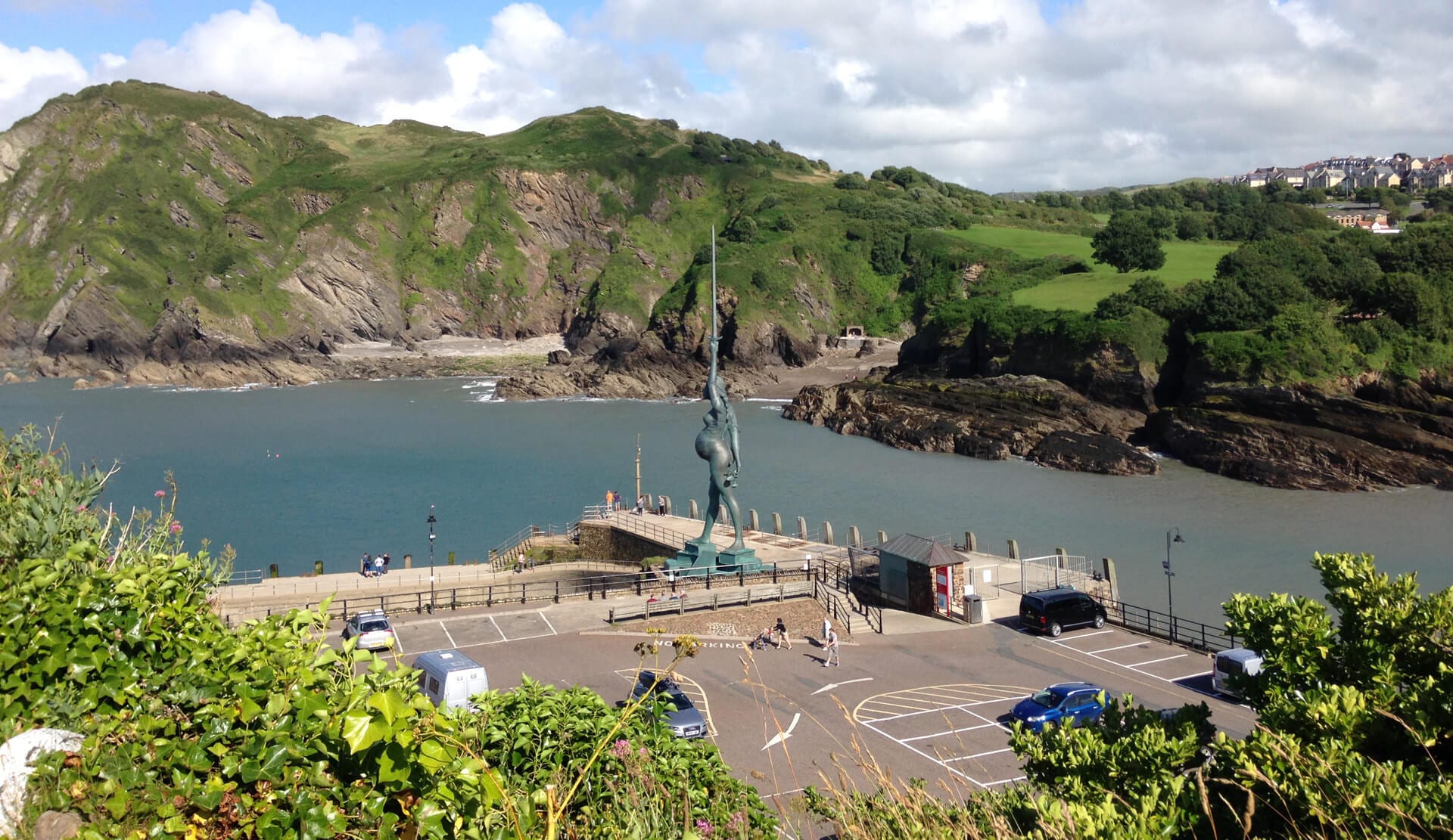
We started at the official West Highland Way obelisk in Milngavie. The first part of the walk was on the old railway line, cleverly converted. We went off track a short distance to visit the ruined Mugdock Castle.

In spite of the rain, heavy at times, we trudged on the 12 miles to Drymen along woodland paths, more railway and finally a few miles on road, which can be hard walking.
Day 2 West Highland Way: Drymen to Rowardennan, 15 miles
A better day, only showers. Woodland and moorland for the first half with many a short up and down. We climbed Conic Hill, a local beauty spot and magnet for short-distance walkers, to get a great view of Loch Lomond below us. Tea and cakes in Balmaha then onward along the path beside the loch to Rowardennen where we spent the night. (A party of Danes could not understand our accents, most of us being from Tyneside!).

Day 3 West Highland Way: Rowardennen to Beinglas Farm, 13 miles.
For me, this was the hardest day. The path was initially good to Inversnaid Hotel. After that a narrow path close to the shore of Loch Lomond. It was very rocky in places, care is needed and some short scrambles too. Final section across fields to Beinglas where we stayed the night. We visited the ancient pub “The Drovers Inn”, dating back to Rob Roy. It had not been decorated since he was there.
Day 4 West Highland Way: Beinglas to Tyndrum, 14 miles
The first half, to Crianlarich, was a mixture of moorland, woodland, and muddy tracks. It rained a bit too. We went off the West Highland Way for tea at Crianlarich railway station. The second half of the day took us through several miles of coniferous plantation, which can be boring but this one was not too bad. Out of the forest, we passed St Fillans abbey (ruined). The Lochan of the Sword where Robert the Bruce, according to myth, threw his sword after defeat in battle. Finally, a footpath brought us to Tyndrum where we spent the night.

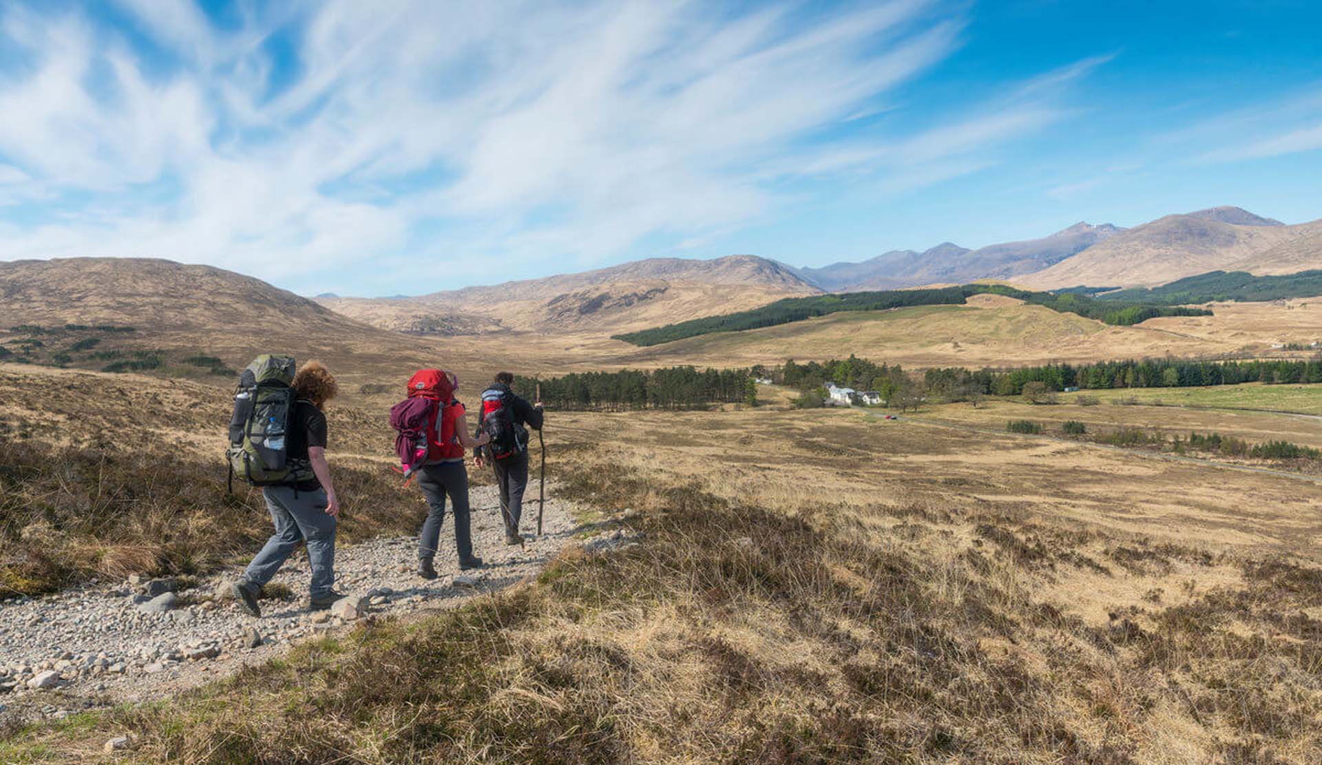
Day 5 West Highland Way: Tyndrum to Inveroran Hotel, 10 miles
Getting deeper into the Highlands the walk was getting more interesting. After 7 miles we stopped at the Bridge of Orchy hotel for tea and scones (honest). Moving on over moorland we came in sight of the isolated Inveroran hotel, quite isolated (No WiFi!!) but in a beautiful setting below the Black Mount and close to Loch Tulla. It suited us, sitting in the sunshine enjoying a quiet pint and watching other walkers come down the hill to the hotel. (Dorothy Wordsworth, travelling with William, was not as impressed apparently).

Day 6 West Highland Way: Inveroran to Kings House, 10 miles
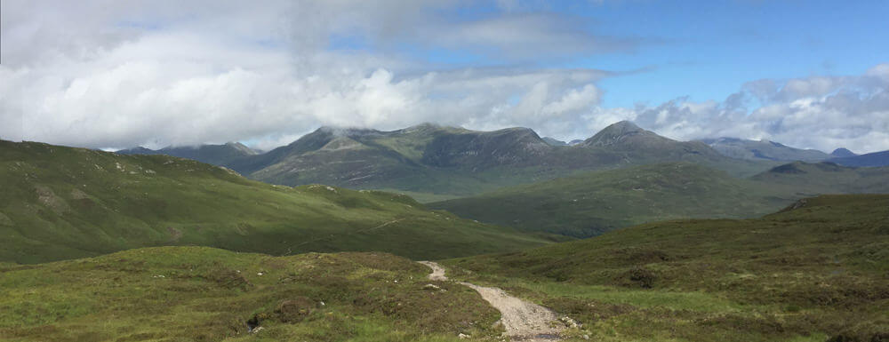
Sadly the day started with a slight thunderstorm and rain, which ensured the mountains were all but invisible. As the morning progressed the cloud lifted and we walked on a good track built by Thomas Telford in 1803. We walked across part of Rannoch Moor, desolate uninhabited land of bog and lochan. But the views were unbeatable, as we left the Black Mount the mountains of Glencoe appeared in all their glory. A really magnificent area. A herd of deer, females with their young, came very close.
Day 7 West Highland Way: Kingshouse to Kinlochleven, 8 miles
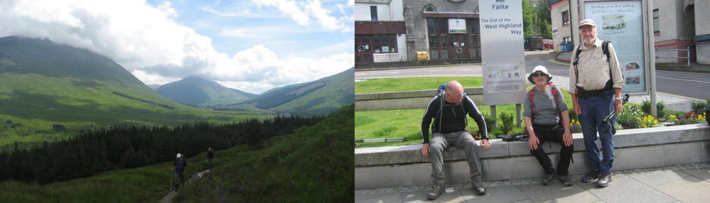
A short walk parallel to the road that goes down Glencoe before heading up “The Devil’s Staircase” a steep zig-zag path that is also an old military road. It reaches 1789 feet, the highest point on the WHW, and is another popular short walk, up to the shoulder and down again! The view from the top was well worth the effort (which wasn’t too bad). A grand panorama of the Mamores to the north and looking back at the mountains that line Glencoe. It seemed a long walk down to Kinlochleven. In spite of the old aluminium smelter and hydropower station, Kinlochleven is quite a pretty place. One of the old buildings has been converted into Britain’s ice climbing centre, there’s also a microbrewery.
Day 8 West Highland Way: Kinlochleven to Fort William, 16 miles
After a short steep climb through woodland, we reached another old /military road that contoured nearly all the way to Glen Nevis. Ben Nevis appeared, initially covered in cloud but that slowly burned off. It was possible to see the steady stream of walkers plodding up the tourist route to the summit of Ben Nevis. We walked down through woodland to Glen Nevis. Sadly, the last couple of miles of the WHW is on a road. We had to walk the length of the high street to get to the official finish and then, surprisingly, we went to the nearest pub to celebrate.
Officially the walk is 96 miles, we clocked up a few extra. One of the pleasures of the walk is the camaraderie. Not just between the eight of us. We often walked in pairs, sometimes alone. But every day we met groups of people also doing the West Highland Way. Most of them were Europeans, some Americans, and some Canadians. We always exchanged greetings and enquiries as to how was it going etc. Some people, mostly young, were doing the walk carrying full packs, tents sleeping bags, etc. Ouch. It was a great experience, looking back I enjoyed every step in its own way and much to my surprise, I didn’t even get one blister.
Another inspiring account of walking the West Highland Way can be found on the Walking Englishman’s website. He walked the WHW route from North to South as part of a 3-month walk of the full length of Great Britain. Full details of the route and other resources can be found on the LDWA website.