


The Surrey Hills Loop is a three-day walking route devised by travel writer Simon Gibbs, linking three independent hostels through the Surrey Hills National Landscape.
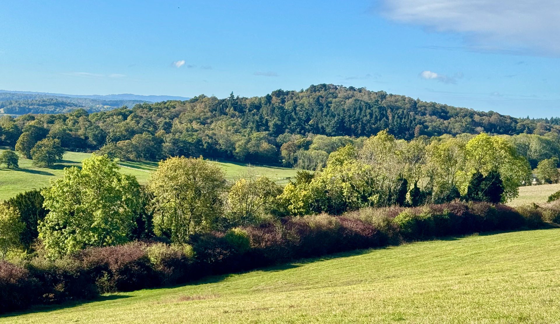
Across 63 kilometres, the route passes through beech woods, sandy heaths, river meadows and chalk downland. It follows sections of the North Downs Way, the historic Pilgrims’ Way and the Greensand Way, alongside quieter, lesser-used footpaths that reveal another side of the Surrey Hills.
But the journey is about more than the landscape. Each stage connects places where walkers find shelter, hospitality and a sense of community. Together, the three hostels offer a different way to experience the Surrey Hills, travelling on foot and staying in places with their own character and stories.
To help you plan your walk, we’ve provided GPX files for each stage, alongside downloadable PDF guides with detailed directions, practical advice and insights into the landscapes, history and places you’ll encounter along the way.

Welcoming accommodation, right where you need it.
Curated Walking Routes
Puttenham Barn to Tanners Hatch Hostel
Puttenham Barn and Tanners Hatch Hostel stand twenty-six kilometres apart on the same chalk escarpment, joined by one trail and one long day. Puttenham Barn Bunkhouse stands on the village street at Puttenham, below the Hog’s Back. Tanners Hatch Hostel is a timber-framed house in the woods on the northern edge of Ranmore Common, on National Trust land that belongs to the Polesden Lacey estate. Between them the North Downs Way follows the line known as the Pilgrims’ Way, and the day runs from lane to river meadow, then a steep hill, then open chalk ridge and beech wood.
26.3 km · 16.3 miles 500 m · 1,650 ft ascent Approx. 6 hours
Download GPX Download Walk PDF
Tanners Hatch Hostel to Hurtwood Hideout
Over the Surrey Hills, from Ranmore Common to Holmbury St Mary. Ten kilometres from a ridge-top hostel to a woodlandcafé, with the one real climb saved for the end. From the woods of Ranmore Common the route drops about a hundred metres into the Wotton valley, passes the Wotton Hatch at 4.9km, then climbs south through woodland to Holmbury St Mary. Hurtwood Hideout stands on the edge of the Surrey Hills woodland, with a café on site. After the long ridge day from Puttenham, this is the short walk of the weekend
10.1 km · 6.3 miles About 240 m · 780 ft ascent Approx. 2½ hours
Download GPX Download Walk PDF
Hurtwood Hideout to Puttenham Barn
Along the Greensand Way and the Wey valley in the Surrey Hills, this route crosses three kinds of country in a day: sandy heath, river meadow and chalk. The route follows a planned line along rights of way, so waymarks may differ slightly from the map.
The route leaves Hurtwood Hideout on the Greensand ridge andcrosses the Hurtwood, a large area of woodland and heath, and climbs Pitch Hill on the way, before dropping to Chilworth and the Tillingbourne valley. From there it follows the water meadows and the River Wey Navigation, climbs briefly to Compton, and finishes on the North Downs Way at Puttenham Barn Bunkhouse, where the first walk began.
26.3 km · 16.4 miles About 330 m · 1,080 ft ascent Approx. 6 hours
Download GPX Download Walk PDF
Devised and curated by Simon Gibbs © 2026 Simon Gibbs